
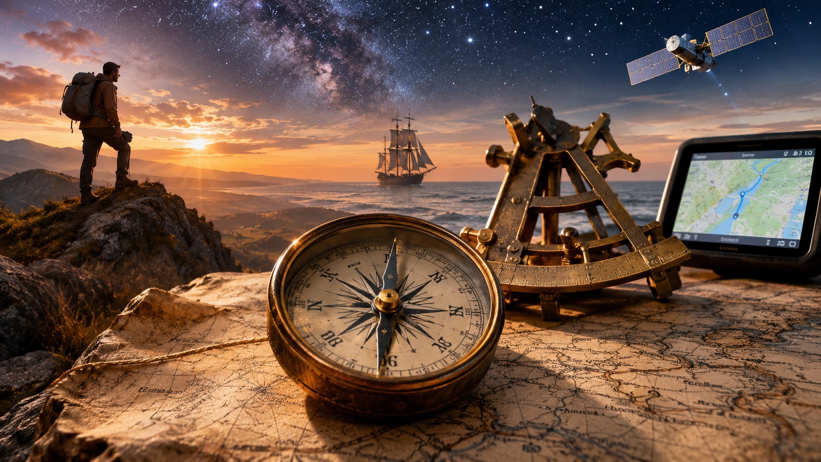
Long before the development of maps, compasses or instruments capable of determining geographical position, human survival depended upon the ability to recognise a landscape and move through it. Hunters followed animal movements across unfamiliar ground. Communities travelled between seasonal resources. Later, traders, soldiers and mariners crossed territories where a navigational error could mean the loss of provisions, a vessel or an entire expedition.
Navigation emerged from the practical need to establish direction, estimate distance and recognise a destination. It did not originate in a single invention or civilisation. Different societies developed methods appropriate to their environments, drawing upon observation of the terrain, the behaviour of the sea and the recurring movements of celestial bodies.
Over time, this knowledge was supplemented by charts, magnetic instruments, accurate clocks, radio signals and orbiting satellites. Modern navigation systems can determine position in seconds, often without the user understanding the calculations involved. Artificial intelligence is extending these capabilities further, enabling machines not only to estimate where they are but also to interpret obstacles and make decisions about movement.
The fundamental requirement has remained unchanged: to determine a position, establish a direction and travel towards a destination with sufficient confidence to arrive.
Navigation Before Written Maps
The earliest navigational practices cannot be reconstructed in detail. Prehistoric travellers left no written instructions describing how they selected routes or remembered landmarks. Nevertheless, the movement of human populations across continents and between islands demonstrates that long-distance travel took place well before the appearance of formal cartography.
For hunters and mobile communities, navigation was closely connected to knowledge of the environment. River systems, mountain ridges, coastlines, prevailing winds, animal migrations and seasonal changes offered information about both direction and the availability of resources. Familiar terrain could be understood as a network of remembered routes and recognisable features rather than as a diagram drawn to scale.

These methods were not necessarily primitive in the sense of being unsophisticated. Detailed environmental knowledge could be acquired through repeated observation and passed between generations. The ability to recognise subtle changes in terrain or weather remains valuable to experienced hunters, guides and wilderness travellers today.
The Sea, the Stars and Traditional Wayfinding
Travel beyond sight of land created a different navigational problem. A coastline provided a sequence of visible reference points, but the open ocean offered few fixed landmarks. Mariners had to infer direction from the Sun, stars, winds, currents and the movement of waves. The rising and setting positions of particular stars could provide directional references, although their usefulness depended upon latitude, season and visibility.
Polynesian voyaging offers an important example of sophisticated navigation without reliance on European-style instruments. Navigators used knowledge of stellar patterns, ocean swells, winds, birds and island environments to guide vessels across extensive regions of the Pacific. Such techniques depended upon training, observation and the integration of multiple sources of evidence, rather than a single universally reliable sign.
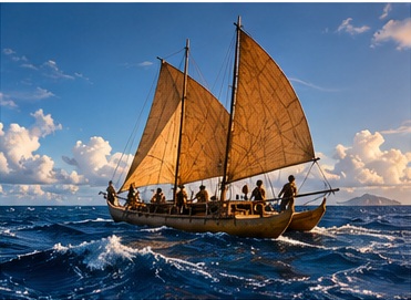
The modern revival of traditional Polynesian voyaging, including journeys undertaken by the Hawaiian canoe Hōkūleʻa, has demonstrated the continuing practical significance of this body of knowledge. Its methods should be understood on their own terms, rather than treated merely as an early stage on the way to electronic navigation.
Charts, Compasses and Instruments
As trade and maritime travel expanded, navigators increasingly recorded geographical information in forms that could be preserved, compared and shared. Maps and charts translated accumulated observations into representations of coastlines, harbours, routes and hazards. Their accuracy varied considerably, and early charts were constrained by incomplete surveys and the difficulty of measuring position at sea.
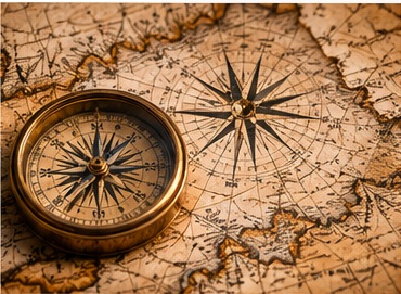
The magnetic compass, developed in China and subsequently adopted for navigation in other regions, provided a directional reference when celestial observations were unavailable. Its usefulness was substantial, but it did not indicate geographical position. Magnetic north also differs from true north, and the difference varies by location and over time. A compass therefore assists navigation without removing the need for judgement, measurements and reliable geographical information.
Astronomical instruments added another means of obtaining positional information. By measuring the altitude of the Sun or a known star above the horizon, and combining the observation with suitable tables, a navigator could calculate latitude. Instruments evolved over centuries, including the mariner’s astrolabe, cross-staff, backstaff, octant and sextant. The sextant became particularly important because its optical design enabled precise measurement of the angle between a celestial object and the visible horizon.
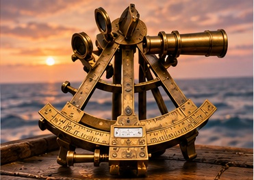
Such observations were only one part of a navigational calculation. Mariners also relied on estimated speed, heading and elapsed time to maintain a running estimate of position, a method known as dead reckoning. Small errors in course or speed could accumulate, particularly over long passages or in strong currents.
Longitude and the Importance of Accurate Time
Determining latitude was generally more straightforward than determining longitude. A vessel’s east–west position could not be established simply by observing the height of the pole star or the midday Sun. One solution required a reliable comparison between local astronomical time and the time at a known reference meridian.
Because the Earth rotates through approximately 360 degrees in 24 hours, a difference of one hour corresponds to 15 degrees of longitude. A difference of four minutes corresponds to one degree. The principle was simple; maintaining sufficiently accurate reference time aboard a moving ship, amid changes in temperature and humidity, was exceptionally difficult.
In Britain, the Longitude Act of 1714 established financial rewards for practical methods of finding longitude at sea. The clockmaker John Harrison devoted decades to developing marine timekeepers capable of maintaining accuracy under demanding conditions. His fourth timekeeper, H4, was completed in 1759 and demonstrated the potential of a comparatively compact precision instrument.
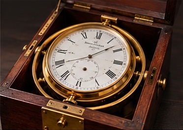
Harrison’s work did not immediately make chronometers commonplace aboard ships. Instruments had to become reproducible, affordable and dependable in ordinary service. Astronomical alternatives, notably the lunar-distance method, remained important during the transition. Nevertheless, reliable marine chronometers ultimately transformed the practical determination of longitude.
Navigation had acquired a fundamental connection with precision timekeeping: a clock could help establish not merely when an event occurred, but where an observer stood on the Earth.
Navigation on Land and in Warfare
For soldiers, surveyors and overland explorers, the problems of navigation were shaped by terrain, visibility and the need to move without following established routes. Topographical maps, magnetic compasses, measured bearings and distance estimates became essential tools. Military operations often required movement at night, in unfamiliar country or under conditions where a navigational mistake could compromise an entire unit.
During the twentieth century, accurate mapping, aerial photography and increasingly sophisticated surveying techniques improved the information available to armed forces. Yet the individual soldier’s practical task often remained recognisable: identify the current position, select a route, follow a bearing and verify progress against the surrounding terrain.
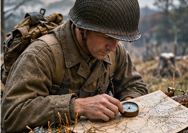
These skills retain operational importance. Satellite navigation may be disrupted by interference, deliberate jamming or deceptive signals. Maps, compasses and terrain interpretation remain useful independent references, although their effectiveness depends on training and the circumstances of the operation.
Flight, Radio and Inertial Navigation
Aviation introduced new demands. Aircraft could cross considerable distances rapidly, while wind displaced them from their intended tracks. Early air navigators combined maps, compass headings, estimated airspeed, elapsed time and observations of landmarks. Over water or cloud-covered terrain, celestial and radio-based methods became particularly valuable.
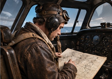
Radio navigation allowed positions or bearings to be established using transmitted signals. During the twentieth century, systems such as radio direction finding, hyperbolic navigation networks and later ground-based aviation aids reduced dependence on visible landmarks. Radar provided further information about surrounding objects, coastlines and obstacles.
Inertial navigation took a different approach. Gyroscopes and accelerometers measure changes in orientation and motion, allowing a system to estimate its position from a known starting point without continuously receiving external signals. The method is valuable for aircraft, ships, submarines and missiles, but errors accumulate over time unless corrected using additional references.
Satellite Navigation and the Measurement of Position
The space age fundamentally changed navigation. Following the launch of artificial satellites, researchers recognised that radio signals from orbit could be used to determine positions on Earth. The United States Navy’s Transit system became an early operational satellite navigation system, while development of the Navstar Global Positioning System began in the 1970s. The first experimental GPS satellite was launched in 1978.
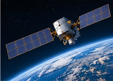
GPS satellites broadcast information about their positions and the precise times at which signals are transmitted. A receiver measures the apparent travel times of signals from multiple satellites and uses them to estimate its own position and clock error. At least four satellite measurements are ordinarily required for a three-dimensional position and receiver clock correction.
The timing requirement is exceptionally demanding. Radio signals travel at approximately 300,000 kilometres per second, so a timing error of one microsecond corresponds to nearly 300 metres of signal travel. Atomic clocks aboard satellites, corrections supplied by ground control systems and calculations within receivers are therefore central to accurate positioning.
GPS is not the only global satellite navigation system. Russia’s GLONASS, the European Union’s Galileo and China’s BeiDou also provide positioning, navigation and timing services. Modern receivers may use signals from several constellations, improving satellite availability and, under suitable conditions, performance.
Navigation Becomes Personal
Miniaturisation brought satellite receivers and digital mapping into road vehicles, handheld devices, mobile telephones and watches. Navigation no longer required a trained specialist to operate a chart table or calculate a position from celestial observations. A compact receiver could provide coordinates, while software combined those coordinates with maps, route databases and estimated travel times.
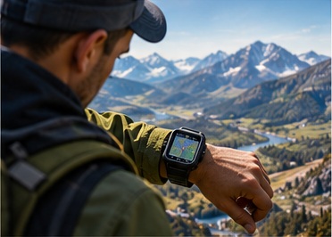
A wrist-worn navigation device can now record a route, estimate distance travelled, display a bearing and assist a walker in returning to a previous location. Its usefulness, however, remains subject to signal reception, battery life, map quality and the user’s ability to interpret the information. Satellite signals can be obstructed by buildings, dense terrain or other environmental conditions.
The change is nevertheless considerable. Techniques once associated with specialised maritime, aviation and military equipment have become ordinary features of personal technology.
Artificial Intelligence and Autonomous Navigation
Conventional navigation systems principally answer questions about position and route. Autonomous navigation must also address what is happening in the surrounding environment and how a vehicle or machine should respond. This requires information from cameras, radar, lidar, satellite receivers, inertial sensors and other instruments, depending upon the application.
Artificial intelligence, particularly machine-learning methods used in perception, can help identify road users, obstacles, boundaries and other features within sensor data. Sensor fusion combines observations from different instruments, while simultaneous localisation and mapping, commonly abbreviated to SLAM, allows a robot to build or update a representation of its surroundings while estimating its position within that representation. SLAM does not inherently require artificial intelligence, although modern implementations may incorporate learned components.

These capabilities are particularly relevant where satellite signals are unreliable or unavailable, including tunnels, warehouses, dense urban environments and some military operating areas. A drone may use visual and inertial observations to estimate its motion; an autonomous vehicle may combine maps with real-time perception to follow a route while responding to changing traffic conditions.
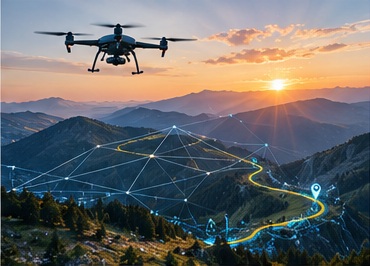
These technologies should not be mistaken for universally reliable independent judgement. Cameras can be affected by poor visibility, sensors can produce ambiguous measurements and machine-learning systems can perform poorly in unfamiliar conditions. Safe autonomous operation requires engineering safeguards, validation, appropriate operating limits and, in many applications, human oversight.
The Continuing Importance of Human Navigation
The history of navigation is not a sequence in which each new method renders its predecessor irrelevant. Celestial observations remain useful in particular maritime contexts. Magnetic compasses and paper charts can provide independent references. Inertial systems complement satellite receivers, and modern autonomous systems depend upon combining multiple imperfect sources of information.
What has changed most dramatically is the relationship between the navigator and the instruments. Early travellers interpreted the environment directly. Later generations used charts, compasses, astronomical observations and accurate timekeepers to extend what could be known. Satellite systems automated much of the calculation of position. Artificial intelligence is now being applied to the interpretation of the environment and the selection of actions within it.
From the hunter recognising a distant ridge to the autonomous vehicle identifying a road ahead, navigation remains an exercise in relating movement to the surrounding world.
Its instruments have become more precise, more portable and increasingly capable of operating without constant human direction. Yet their purpose remains connected to the same practical questions that confronted the earliest travellers: where are we, which way should we go, and how can we know that we are following the correct route?
Sources and Further Reading
- University of Hawaiʻi at Mānoa — Wayfinding and Navigation.
- Royal Museums Greenwich — Time and Longitude.
- Royal Museums Greenwich — John Harrison’s H4 Marine Timekeeper.
- NASA — Global Positioning System History.
- Federal Aviation Administration — GPS: How It Works.
- National Institute of Standards and Technology — How Do You Measure Your Location Using GPS?.
- NOAA National Geodetic Survey — Multi-GNSS Processing.
Image note: The accompanying navigation images are AI-generated illustrations. They are not archival photographs or documentary records of particular historical events or artefacts.
Leave a Reply